Summary
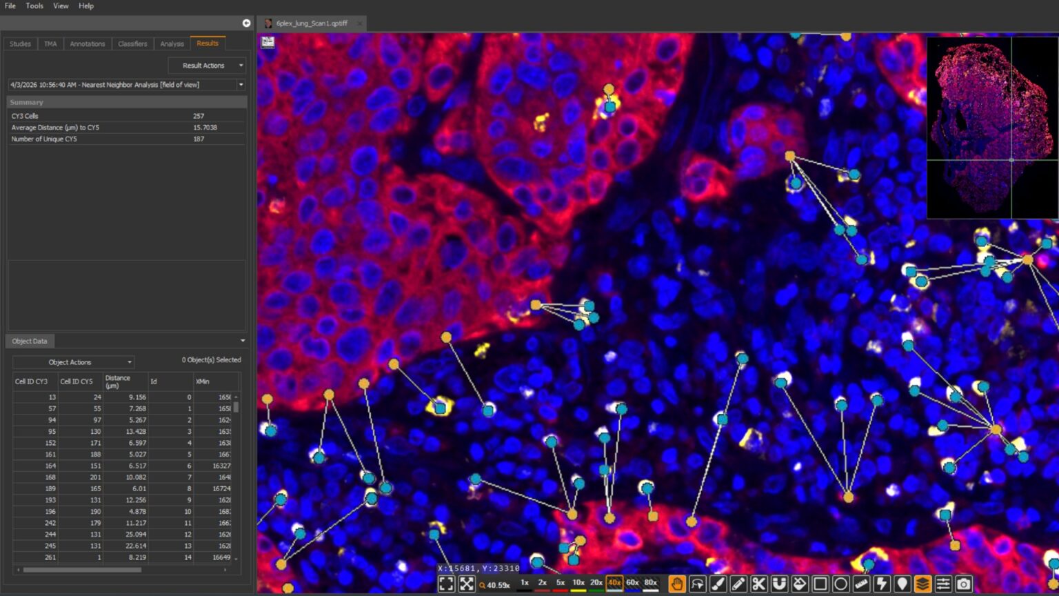
The HALO® Spatial Analysis module enables quantitative assessment of cellular spatial relationships within whole-slide images, providing a clear and reproducible way to study spatial biology in brightfield and fluorescence tissue images and supporting richer, more informative data outputs. Join Indica Labs for a masterclass exploring the key steps in a spatial analysis workflow: validating object data, defining biologically relevant cell populations via filtering, and generating interactive spatial plots. David Cordover, Field Applications Scientist, will discuss the algorithms included in the module—nearest neighbor, proximity, infiltration, and density heatmaps—and demonstrate how they enable users to measure cell–cell distances, assess spatial proximity within defined radii, quantify cellular infiltration across tissue interfaces, and visualize regional cell density patterns.
David will also explore the Spatial Analysis module’s data visualization capabilities, including customizable plot layers, histograms, color‑scaled heatmaps, and markup images, and walk through how they support both quality control and biological interpretation. Advanced features for saving and reusing spatial analysis settings, batch processing across studies, and exporting detailed summary metrics, object‑level data, plots, and reports for downstream statistical analysis will also be highlighted.
Register Now


 Indica Labs: Learn how to unlock deeper insights and enhance your data using the HALO Spatial Analysis module